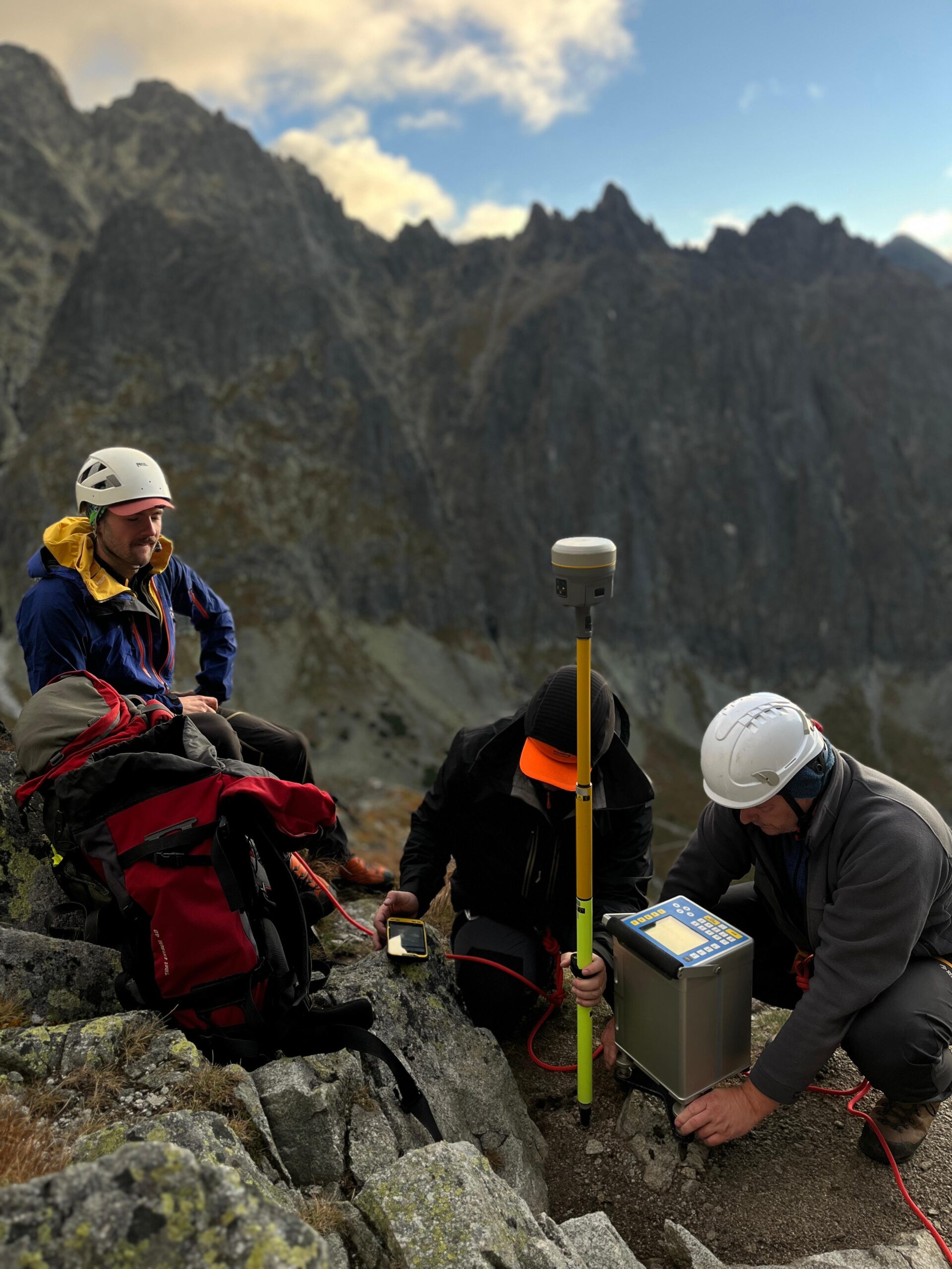
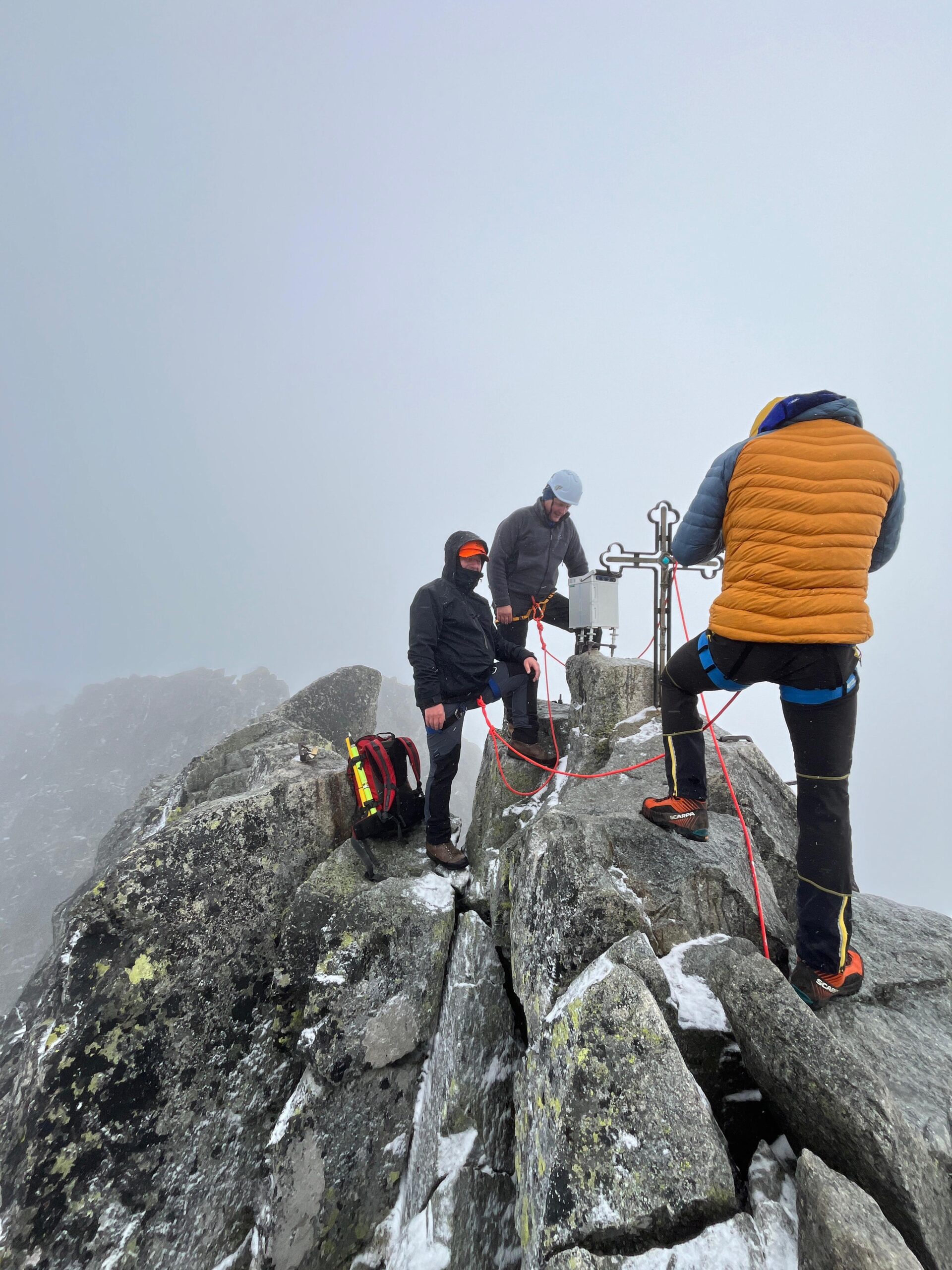
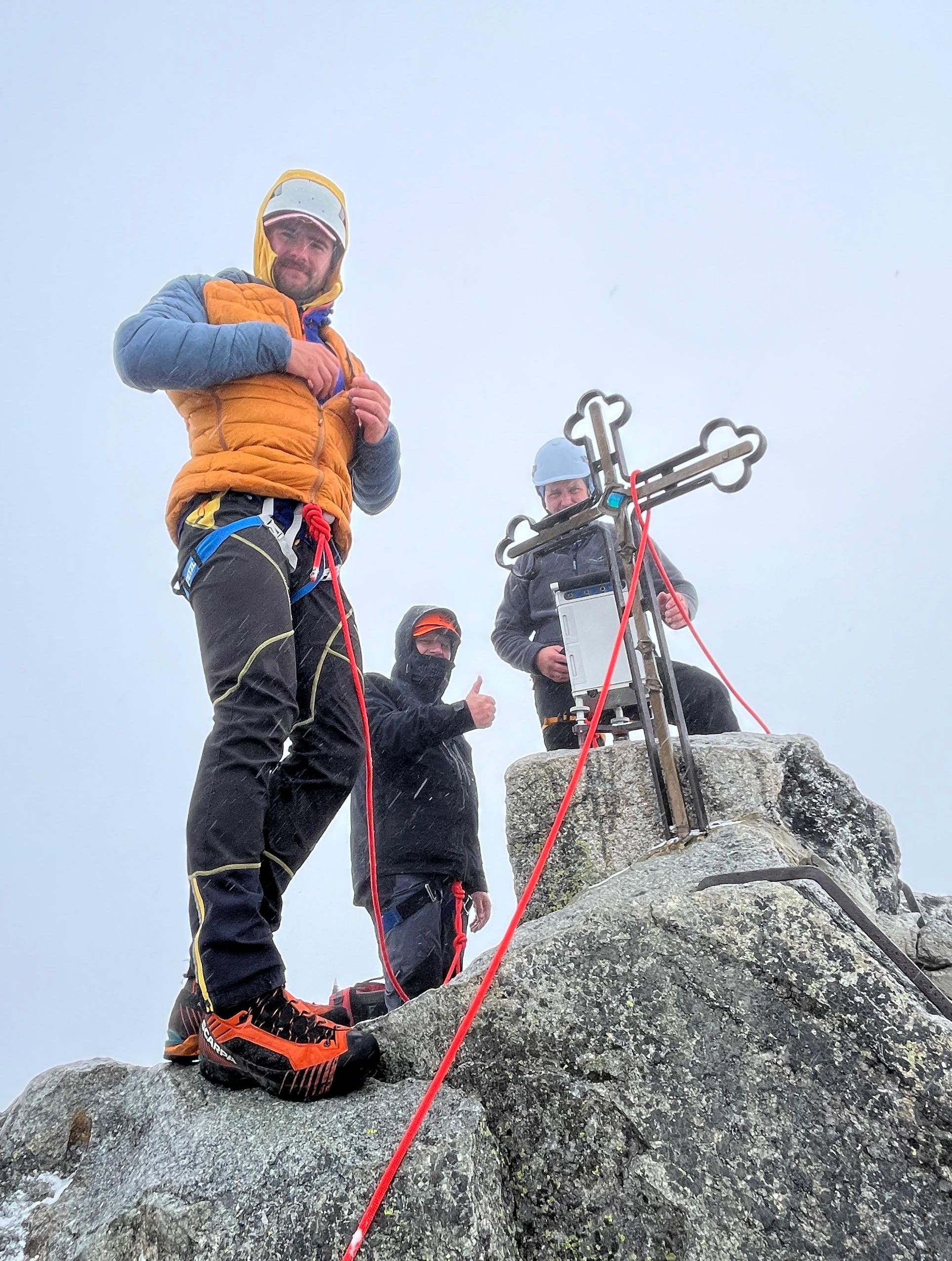
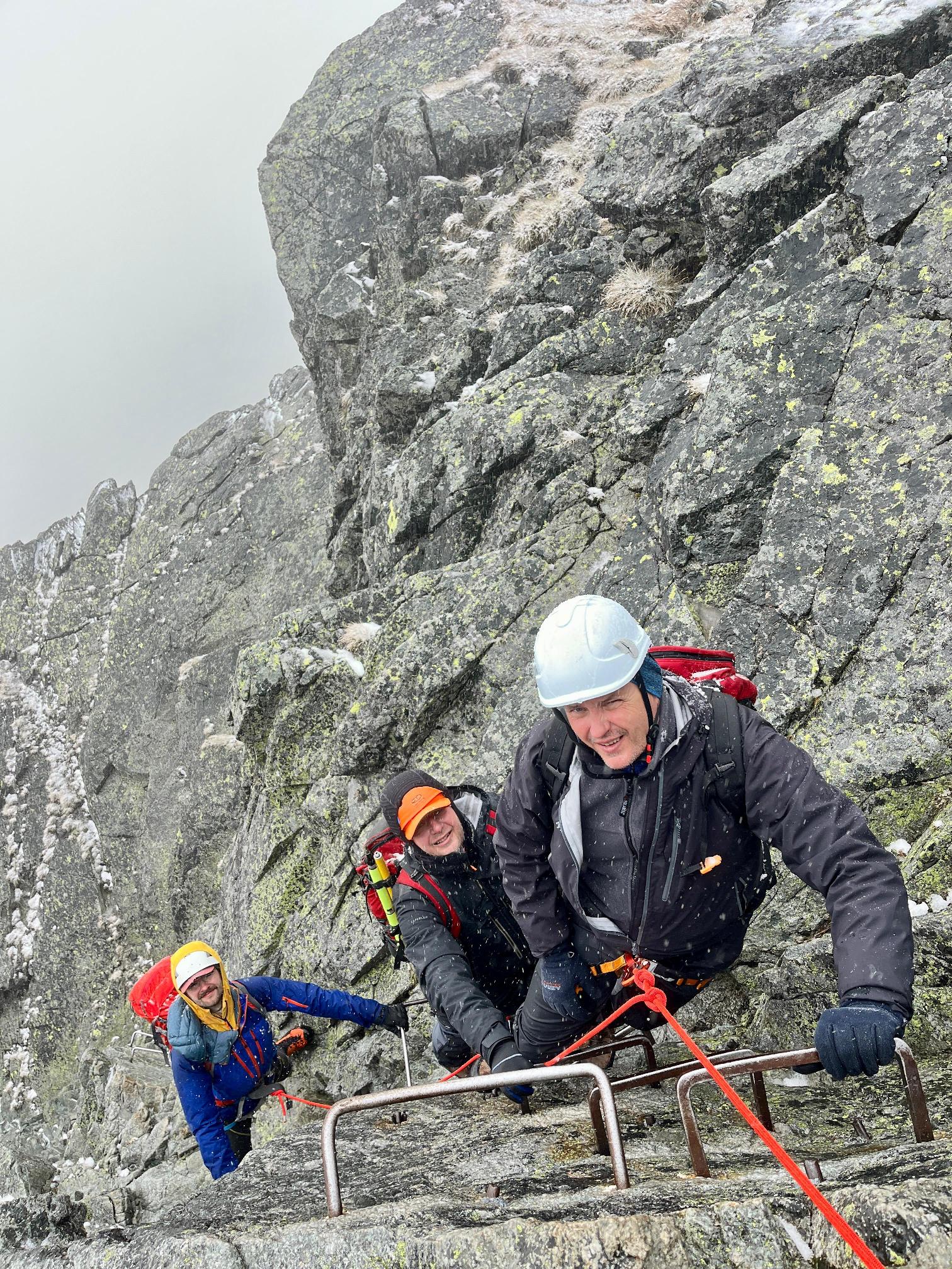
Measuring the Earth’s gravity field (gravimetry) is a method at the intersection of geodesy and geophysics. From the point of view of geodesy, knowledge of the exact values of gravity acceleration in the territory of Slovakia is among the so-called geodetic foundations, i.e. the basic reference pillars of the country. The importance of accurate gravity acceleration at any point lies mainly in the definition of elevationes and their precise determination. Since measuring the gravity acceleration itself is quite time-consuming and equipment-intensive (it requires expensive instruments – gravimeters), geodesists often determine the gravity based on calculations. The basis for a sufficiently accurate calculation, in addition to theoretical knowledge, is various available gravimetric (databases), geodetic (digital terrain elevation models) and geological data about the area. And here is a place for close cooperation with geophysicists. The current Slovak gravimetric database, globally unique in terms of the number of points given the size of the country, is the result of almost half a century of (mainly) geophysical survey and research. It is therefore a rich source of information about the gravity field of Slovakia. Together with other information (e.g. the local shape of the topography), it allows us to predict gravity acceleration with relatively high accuracy even in places where direct measurements have not yet been made. One of such places was the highest point in Slovakia – Gerlach peak (2654.8 m.a.s.l.). Intuitively, the top of our highest peak should have the lowest gravity acceleration, which is one of the fundamental theoretical rules of gravity (gravity “weakens” with increasing distance from Earth). However, our simulated calculations showed something different than intuition. The “predicted” value of gravity acceleration was slightly higher than, for example, on Lomnica peak, which is lower in height and where we have direct measurements available for a long time (thanks to the accessibility by cable car). According to our calculations, this interesting phenomenon is due to the shape of these peaks. Gerlach peak is slightly more massive than Lomnica peak, which causes “additional gravity” at its peak compared to Lomnica peak. In order to verify our calculations, we organized a geodetic-geophysical mini-expedition in September 2025, members: Juraj Papčo from the Faculty of Civil Engineering, SUT, Pavol Zahorec from the Earth Science Institute, SAS and Ivan Šulek from the Faculty of Natural Sciences, UK in Bratislava (many thanks to mountain guide Lukáš Benický (https://alpinepioneers.sk/) for the safe conduct of the expedition). The measurements confirmed our calculations: the gravity acceleration on Gerlach peak (specifically the value 9.8035447 m/s2) is slightly higher than on Lomnica peak. Therefore the leadership in the lowest gravity in Slovakia remains with Lomnica peak for now, mainly thanks to the specific extreme shape of this peak.